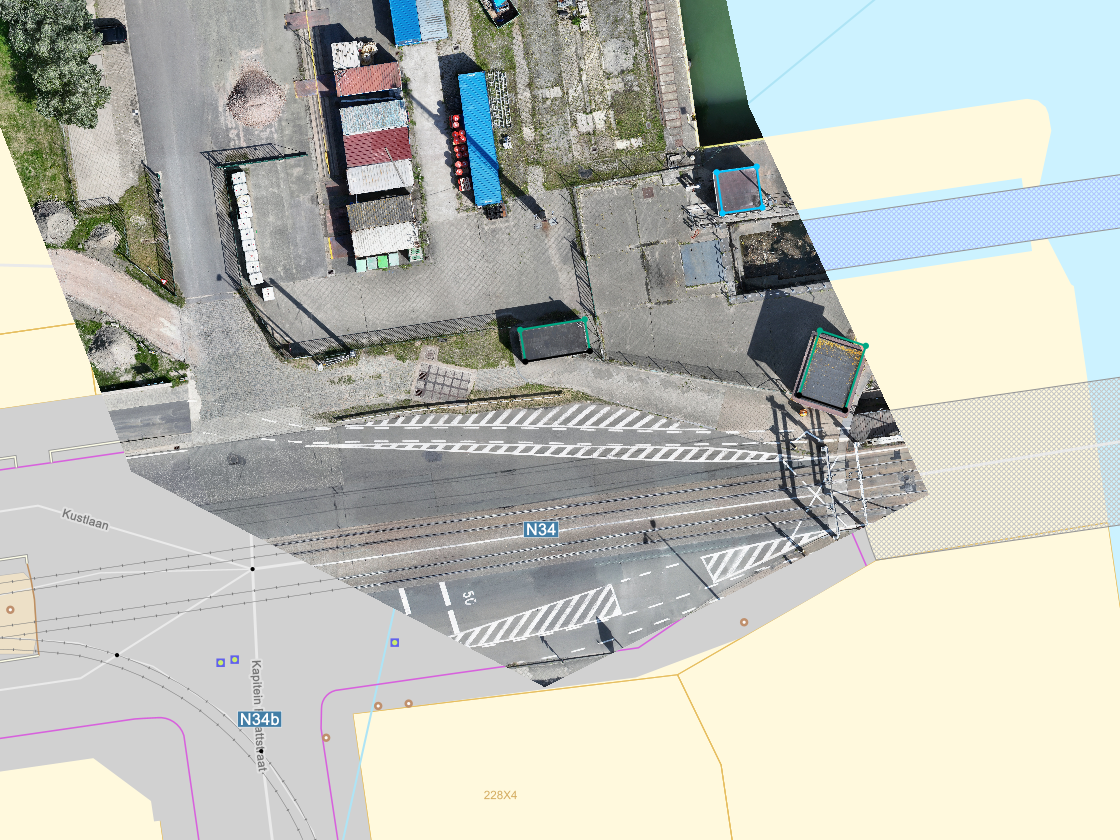
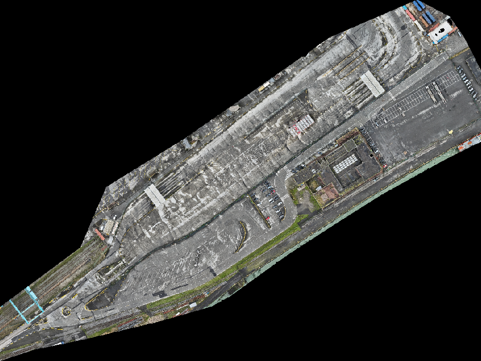
Dronesnap provides orthophotos that set a new standard for accuracy and resolution.
Unmatched Precision
Centimeter-Level Accuracy: Our commitment to precision is absolute. The orthophotos provide a reliable foundation for informed decisions in urban planning, agriculture, and infrastructure.
Sub-Centimeter Resolution: We capture the finest details with unparalleled clarity, exceeding typical industry standards. This level of detail is critical for land surveying, environmental monitoring, and precision agriculture.
Data You Can Use
Versatile Applications: Our orthophotos serve diverse industries, from creating precise base maps for engineering to accurately monitoring crop health.
GIS Ready: Our highly accurate and high-resolution data integrates seamlessly with your Geographic Information System (GIS), enhancing the reliability of your spatial analysis.
Efficient Delivery: Our streamlined processes and technology ensure fast, timely delivery of accurate data, keeping your projects on schedule.