We transform buildings and terrain into highly detailed, three-dimensional digital landscapes. This allows your industry to access and use data with unparalleled precision.
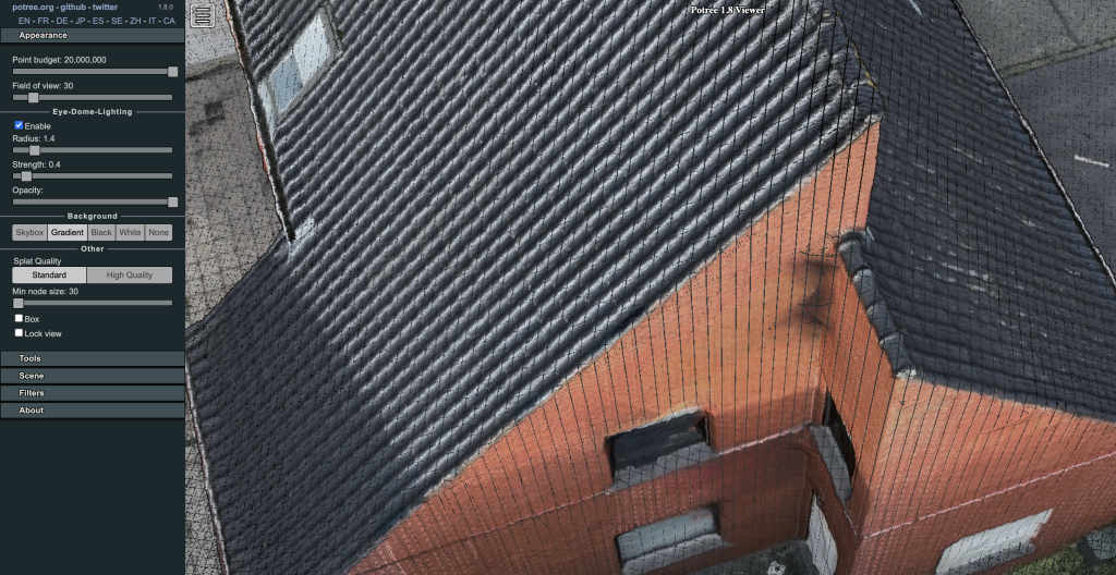
Point Cloud Benefits and Facts
Advantages
- Extreme Precision: Every point is a precise location in space, allowing for detailed analysis, accurate measurement, and visualization of structures and terrain.
- Comprehensive Data: Capture a complete view of your environment, including all external surfaces and intricate details, for a thorough understanding of the site.
- Streamlined Project Management: Accurate measurements reduce the need for repeat site visits and minimize errors during planning, design, and construction.
- Versatile Use: Essential for architecture, construction, urban planning, and environmental monitoring across many industries.
Considerations
- Data Size: Point clouds are highly detailed, meaning the data sets are large. Efficient processing and analysis require robust computing power and storage.
- Initial Cost: There is an upfront investment in the specialized equipment and software needed for this technology. However, the long-term project benefits typically offset this cost.
How We Create Them
- Photogrammetry: We use aerial or ground-based photographs to reconstruct 3D structures. Algorithms correlate features across the images to generate the dense point cloud.
Key Applications
- Historical Preservation: Create precise 3D models for the restoration and documentation of architectural heritage.
- Environmental Monitoring: Accurately assess changes in terrain, deforestation, and landscapes over time.
- Virtual Reality: Seamlessly integrate the point cloud data into VR for immersive project planning and stakeholder review.
At Dronesnap, we create the precise digital landscapes your industry needs for efficiency and insight.